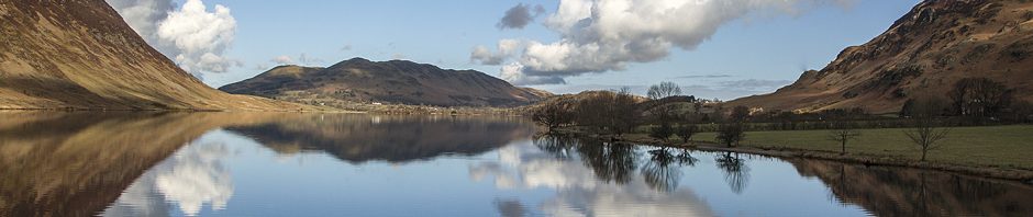
 Loweswater covers a large area of some 1760 hectares (4360 acres). On the eastern side, it borders the west side of Crummock Water and the bank of the River Cocker running north. It then runs to the west just north of Thackthwaite, bordering the civil parish of Blindbothel on the north side, following Meregill Beck to the summit of Fellbarrow before encircling Loweswater Lake via Sourfoot Fell. Mockerkin Tarn is at the extreme west of the Civil Parish. The boundary runs along Meregill Beck and incorporates a large area of fell including, Burnbank Fell, Blake Fell, Great Bourne, Gale Fell, Starling Dodd, Little Dodd, Red Pike, and Bleaberry Tarn before descending to Crummock Water. For an accurate map of the Loweswater Parish boundary, see here. The lake of Loweswater is the most northerly and one of the smallest in the Lake District, being one mile in length and half a mile wide.
Most of the Civil Parish lies within the National Park, apart from Mockerkin in the west, and is five miles south west of Cockermouth. Mockerkin Tarn lies on the western boundary of the Parish. The entry on the Wikipedia website describes the Tarn as being ”… the traditional site of the palace of Morken, a Celtic King. It occupies a shallow basin surrounded by lush pasture, with a small stream entering from the east beside a wooded area. The gentle outflow eventually joins the River Marron. In summer there is a wonderful display of white and yellow water lilies, which stretch in broad bands across the south western corner of the tarn, whichcontains eel, pike and perch”.
